Orb Vision · forest inventory
Faster fieldwork.Consistent data.Proof behind every tree.
Orb measures sample plots with a phone and turns them into a forest report: density, size and species, each measurement backed by images.
No caliper, no notebook to type up afterwards.
Measuring trees with Orb Vision in an Icelandic forest.
Where we’re heading
Every tree Orb measures comes with photos, and those photos hold more than diameter and height. We’re training our models to read tree health and biodiversity from them, so a plot visit tells you how the forest is doing, not just how big it is.
How it works
Most forest inventory is still done with a caliper and a notebook, and then typed into a spreadsheet nobody else can check. Orb keeps the same sample-plot method foresters already trust and takes the tedious parts out of it.
- 1
In the field
Stand at the plot centre and work your way round. For each tree the app uses the camera and augmented reality to measure diameter at breast height and total height, and you note the species. Every tree gets a GPS position and a set of photos, so the measurement can be checked later by someone who was never there.
- 2
In the portal
Your plots show up on a map of the forest, split into compartments. Click a plot to see its trees, click a tree to see its photos. Heights that don’t fit the diameter are flagged, so a bad reading gets caught at the desk instead of ending up in a report.
- 3
The numbers
From the completed plots Orb works out trees per hectare, timber volume and the carbon the forest holds, by species and by compartment. The data exports to GeoPackage for your own GIS, inventory or certification work.
Who uses Orb
Foresters and field teams
One method on every plot, whoever is holding the phone. The data is on the map before you are back at the car.
Forest owners
Know what is growing on your land: species, size and density, with the photos of every tree behind the numbers.
“The Orb app is the tool foresters have been waiting for. It will enable estimation of the carbon reserves of forests, wood quality and the quantity of wood products expected in the future.”
The people behind Orb
A small team in Iceland: engineers, a mathematician and a remote sensing researcher, working closely with the foresters who use the app.
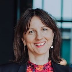
Íris Ólafsdóttir
CEO
Founder. Electrical engineer
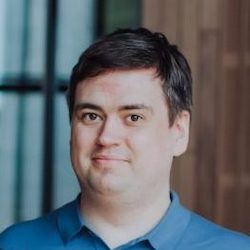
Jón Arnar Tómasson
CTO
Mathematician. Computer vision & AI expert
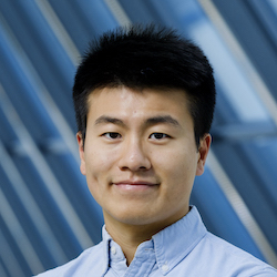
Liang Tian
Remote sensing specialist
PhD student at the University of Iceland
Georg Lúðvíksson
Chairman of the board
Electrical engineer. Founder of Meniga, Spesía, Dímon and more
See it on a real forest: Haukadalur
We measured sample plots in Haukadalur forest with the app and put the results online, the same way a forest owner would see their own forest in Orb.
No sign-up needed. Open it, click a plot, and look at the trees behind the numbers.
What you’ll find there
- Every measured plot on the forest map, with compartment boundaries
- Each tree with its diameter, height, species and photos
- Species mix and diameter distribution for the forest
- Volume, density and carbon worked out from the completed plots
Want to measure your own forest?
Send us a line about your forest: roughly where it is, how big, and what you need the numbers for. We’ll set you up with the app and a portal account and tell you what it costs.
Funded by
Research at Orb is funded by the Icelandic Technology Development Fund. Orb has also received grants from Íslandsbanki, Kvika bank, Landsbankinn and the Ministry of Social Affairs (Atvinnumál kvenna).
